December 8, 2018

SLOWING DOWN IN THE TIMELESS ANZA-BORREGO DESERT, Part I

Carol writes:  Our next evolution pointed three hundred miles south to Borrego Springs, a small desert town completely surrounded by Anza-Borrego Desert State Park.


For the entire month of November, we planned to set a much slower pace in Borrego Springs at a relatively new first-rate RV park with all the bells and whistles, so to speak.  As part of regrouping for the next year on the road, we had plans to service the Jeep in Temecula, take care of a few small motorhome repairs, and undertake some deep-cleaning of the motorhome, both inside and out.


Our campsite looked out on the 2nd tee of the RV park’s immaculately groomed golf course, which in turn was surrounded by a spectacular desert panorama.


A treasured patch of shade at our campsite


provided the perfect position from which to capture some of Al’s practice swings on the 2nd tee… in order to obtain pictures for some self-analysis of form later on. 


After a few scorching days the first week, the fall season settled upon Borrego Valley, resulting in near-perfect conditions for exploring the four corners of the Anza-Borrego Desert.

PALM CANYON

A short uphill hike through bighorn sheep habitat along the Palm Canyon Trail 


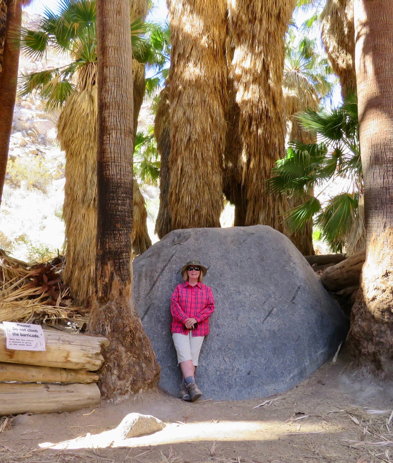
led to a grove of native California fan palms, a true oasis in the desert! 


We had a great conversation with an Australian couple beneath a cool shade canopy where we were surrounded by grassy palm skirts.


FONT’S POINT


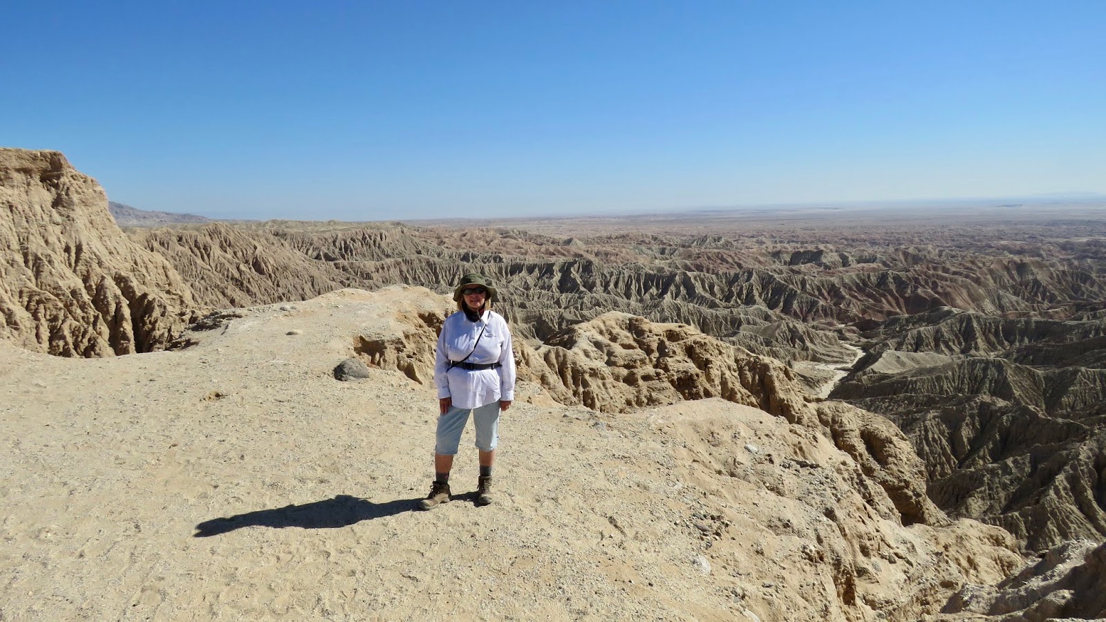
One of the most spectacular viewpoints in the state park required some 4-wheeling out to Font’s Point.  For geology buffs, this area was touted by park literature as “the best place in North America to view sediments of the Pliocene and Pleistocene Epochs.”  More simply for us, this vantage point provided unparalleled grandiose views of the Borrego Badlands 


and the entire Borrego Valley


THE SLOT

One of the most highly recommended walks in the Anza-Borrego Desert was the 2-mile Slot Hike Trail,


which included a 1/2-mile section of a narrow slot canyon of soft sandstone that had been beautifully carved by wind and water.
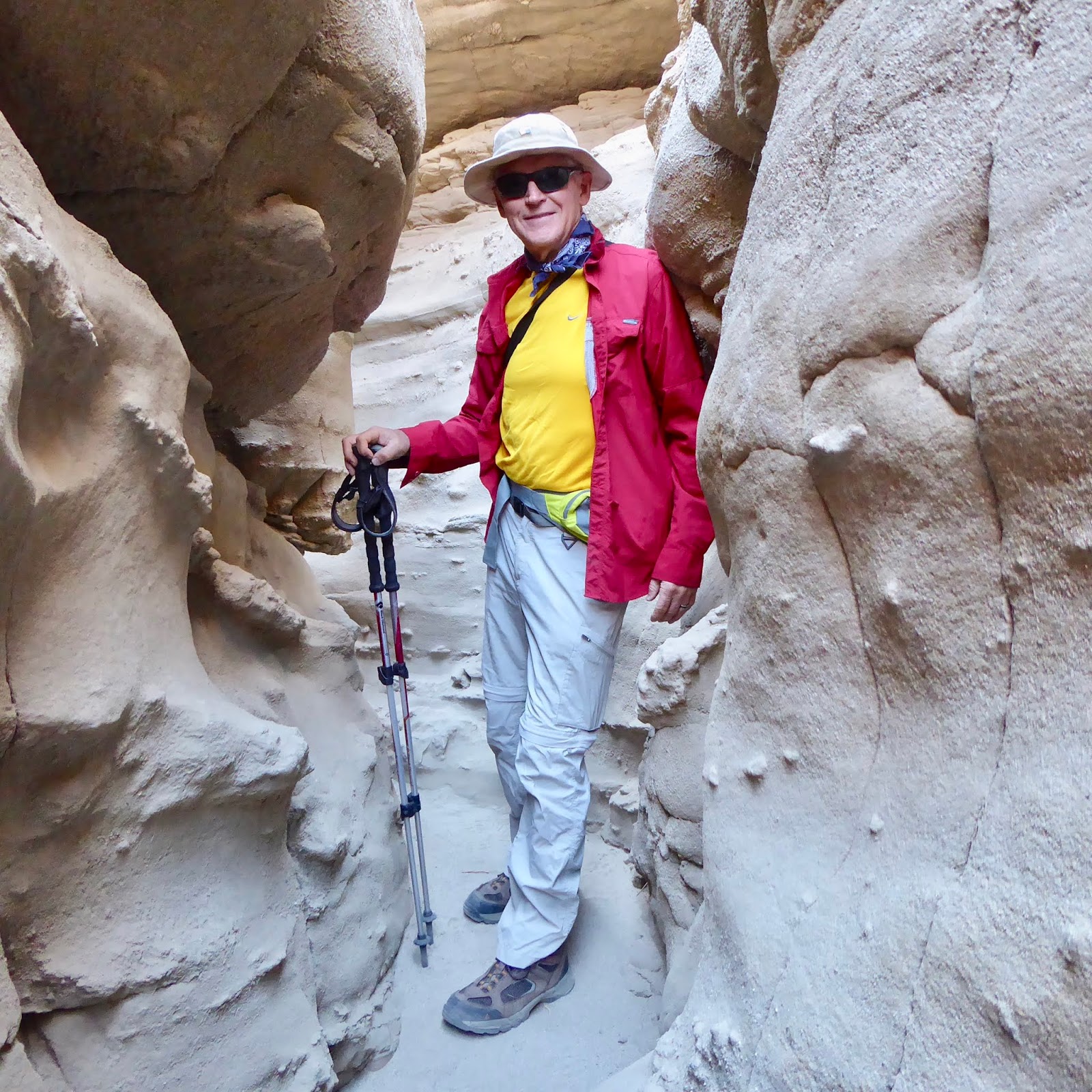


The downhill slope into the canyon was met on the other end by incredibly beautiful harsh desert topography that necessitated a somewhat steep climb back to the car.


By unanimous consensus, our most rewarding day of hiking in Anza-Borrego was the one we spent in Blair Valley.  Three superb hiking trails captivated us with evidence of man’s previous existence in the valley.

PICTOGRAPH TRAIL
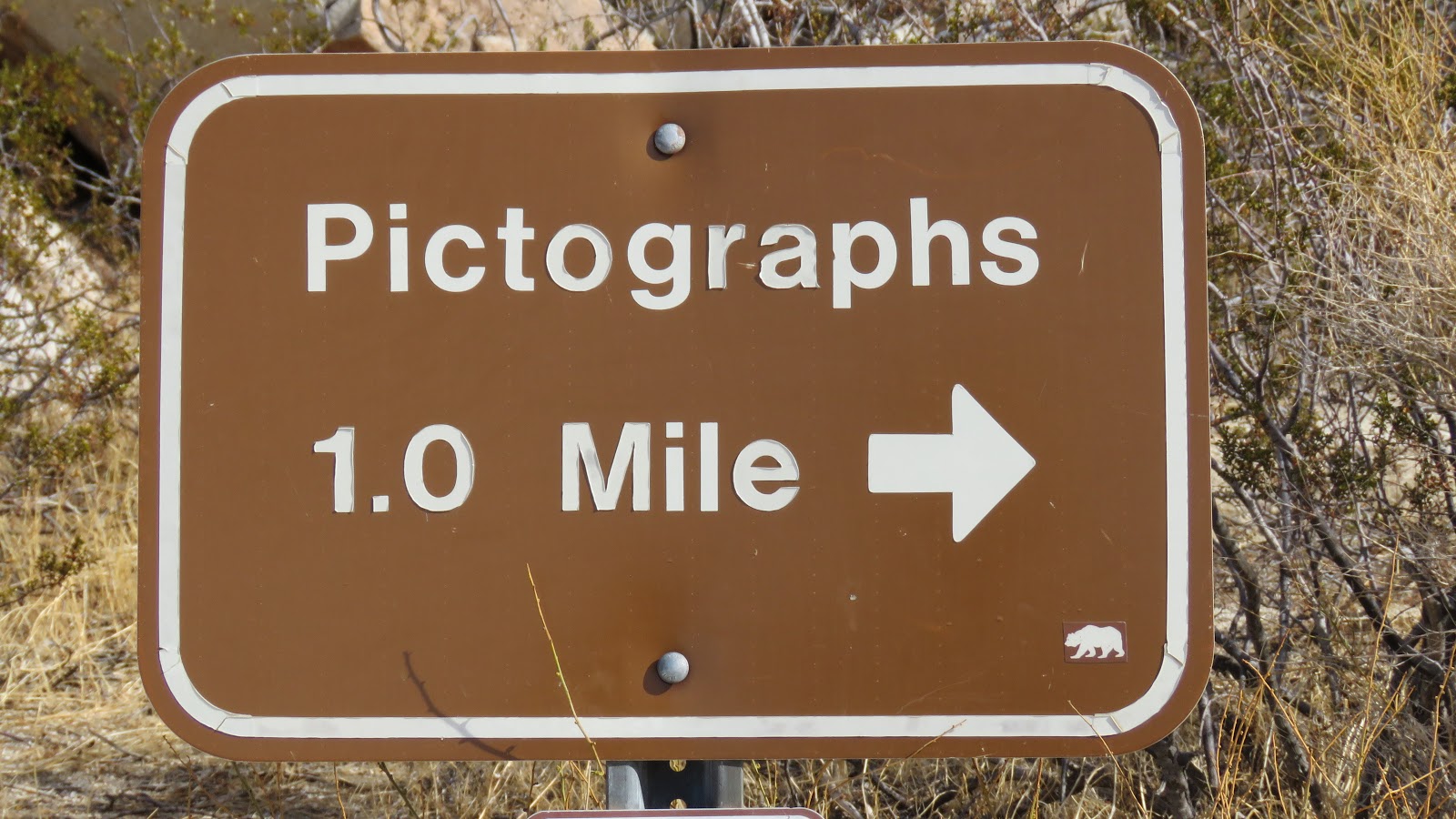


Any trail with pictographs is a winner for us!  


It’s always interesting to visit sites associated with ancient human habitation.  These ancient dwellers often drew pictographs that depicted meaningful objects or events in their lives; however, on this pictograph-covered boulder the interpretation appears to have remained solely with the artist.


MORTEROS TRAIL

The Morteros Trail led to curious “cupules” carved into rocky vertical surfaces.  The precise meaning of these Indian grinding holes has remained an archeological mystery.
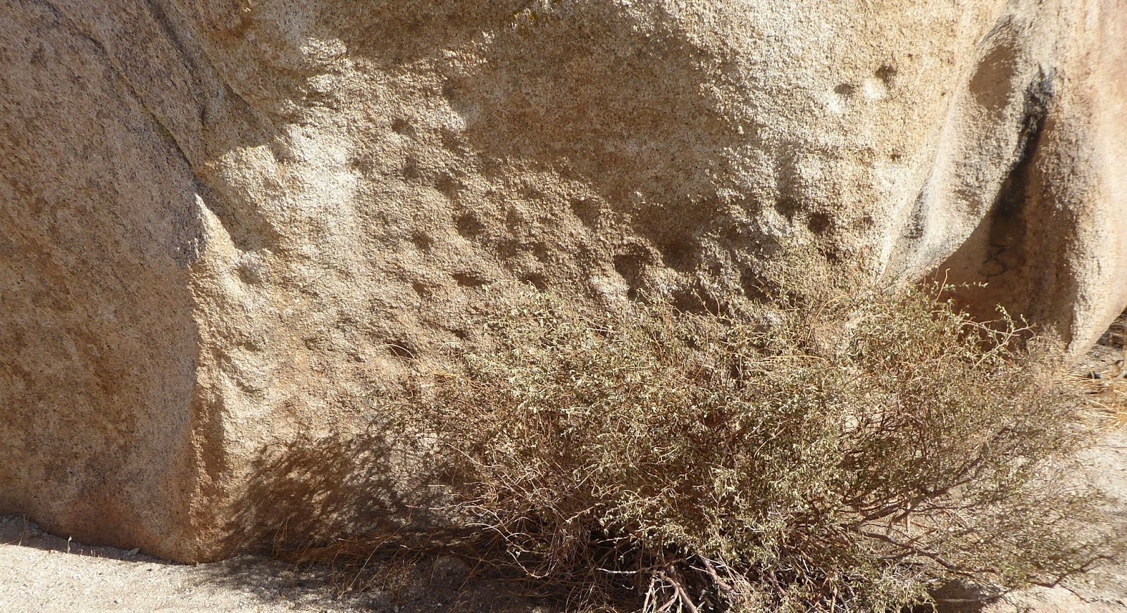


The purpose of grinding holes carved into horizontal surfaces was more obvious.  These rocky impressions served as mortars for grinding various foodstuffs.

Oh, the conversations about daily life that must have played out in these “kitchens” of the early inhabitants of the Borrego Valley.


MARSHALL SOUTH HOME


The grand finale was the biggest challenge on this day of hiking in Blair Valley.  The remains of an old homestead 


that was once home to the Marshall South family was located on the summit of Ghost Mountain atop a 600-ft cliff that required a steep 1-mile climb to the top.  


It was interesting to compare a vintage picture of the original homestead with what little remained today.

Low rock walls, a doorway section of an adobe wall, and the old stone and concrete water cistern were all that remained of the dwelling that once served as the home of the South family. 


This abandoned homestead was evidence of an experiment in desert living that played out in the 1930s and 40s.  Sadly, this crumbling remnant in Blair Valley was the sole epitaph to the life of Marshall South, who once said that he simply desired “silence and peace.”
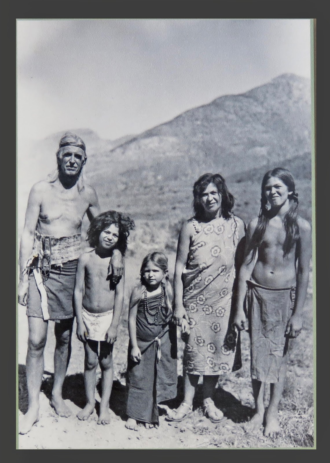


I would like to think the family found a little of each, but ultimately the harsh living conditions of the desert prevailed and the dream was ultimately abandoned.

Within a few weeks we were enamored with the solitude and beautiful forbidding scenery of the Anza-Borrego Desert.  

Desert art around Borrego Springs, Spanish explorer history, 4-wheeling in Fish Creek, a visit to Julian, and a look back at the park where I did my very first hike with Al would occupy our attention for the rest of November.   

Stay tuned for Part II…


November 10, 2018

SUPER HIGHS AND LOWS AROUND LONE PINE

Carol writes: 

MT. WHITNEY

At 14,505 feet of elevation, Mt. Whitney is the tallest mountain in the “Lower 48.”


Nestled two miles in elevation below the summit on the eastern side of Mt. Whitney is the tiny town of Lone Pine.  We settled in for the next week in a shipshape RV spot just outside Lone Pine, 


our stopover for a week as we headed south on 395 down the eastern side of the Sierras.  Al recalled many fond memories of hiking in this part of the Sierras during his bachelor days when he summited Mt. Whitney 3 times!  I have often wondered what that experience was like as he told interesting stories about climbing Mt. Whitney.

Taking advantage of autumn’s clear cloudless skies, I was keen to head up to the Mt. Whitney trailhead to hike a short section of that famous trek to the roof of the Sierras.


Memories of previous ascents refreshed Al’s  memory cells as we headed up Whitney Portal Road.


The closer we got to Mt. Whitney, the more she revealed her spectacular self.


The trail to the summit started out in cool shade, 


but very quickly gained altitude to a marvelous sunny view looking down onto the Alabama Hills in Owens Valley far below.


Unlike when Al climbed Mt. Whitney in the 1970s, today any climber who wants to summit Mt. Whitney must have a permit awarded by lottery.  However, casual day hikers can go as far as 2.7 miles on the trail without a permit, so we hiked up about 700 feet in elevation for lunch before turning around.


I was so glad we did that…  It was exhiliarating for me to get a feel for Al’s previous treasured experiences in John Muir’s beloved wilderness below the pinnacle of the Sierra Nevadas.


ALABAMA HILLS

What’s with the name “Alabama Hills” in Lone Pine, California?  Prospectors sympathetic to the Confederate cause named the Alabama Hills after the Confederate warship C.S.S. Alabama. 


This immensely photographic geologic wonder began to attract Hollywood filmmakers nearly 100 years ago.  What first caught my sentimental eye was Lone Ranger Canyon, where the Lone Ranger and Tonto shot it out with many an outlaw.


Classics like Gunga Din and How the West Was Won were filmed on Movie Flat Road.


More modern movies like Django Unchained and Iron Man were also shot in the Alabama Hills.

When a fellow hiker asked us movie fans if we wanted a pic, we jumped at the chance to have our personal Alabama Hills glamour shot posed within an arch that perfectly framed Mt. Whitney in the background.


OWENS LAKE

In my previous blog, I touched on how the Save-Mono-Lake campaign reversed water withdraws from tributaries flowing into Mono Lake and thus  saved the lake from becoming a parched lakebed.  Sadly, that wasn’t the case on the outskirts of Lone Pine at Owens Lake, which was once a 200-square-mile lake that had previously held water continuously for over 800,000 years. 


Starting in 1913, within 7 years Owens Lake had been drained dry due to diversion of water out of the Owens River into the aqueduct for the city of Los Angeles.  For many decades after that, terrible dust storms and harmful air pollution ravaged the land, making Owens Lake the largest single source of dust pollution in the United States.

Twenty years ago, after years of legal fights, the City of Los Angeles began serious dust mitigation measures to alleviate the toxic dust storms that blew off the barren lake. 

Throughout numerous phases, a variety of methods have been utilized to mitigate the dust from Owens Lake, such as:

using locally mined quartz gravel as a waterless mitigation method over massive expanses…


restoring native alkalai meadows…


and shallow flooding, 


which has created a vibrant habitat for birds and wildlife.


DEATH VALLEY

Lone Pine has the distinction of being located between massive extremes of geography—at the base of the highest peak in the “Lower 48,” in addition to being only 85 miles from the lowest spot in the nation at Death Valley.  

Death Valley National Park covers such an enormous expanse that we weren’t able to see every area of the park when we camped there for a couple of weeks in December 2015.  With Lone Pine providing such an excellent gateway to Death Valley’s western Panamint Valley, we decided to experience the dramatic western entry that we remembered so well from our 1989 visit.  We discovered that the grand entrance several thousand feet down into the Panamint Valley was still a stunner… 


As we entered the official boundary of the park, we were shocked by the giant roar of a jet plane low behind us.  We then noticed that the jet made a sharp left turn, then dropped down into a canyon!  What was that???

We pulled over to where a group of cars was parked and walked up a short rise to a gathering of professional-looking photographers perched on the canyon rim, 


and discovered that we were at Rainbow Canyon.


The cause of the attraction was the U.S. Air Force and Navy pilots who had been putting on quite a show of low-level flight training within the walls of the canyon!  

Over the next couple of hours, fighters and attack planes approaching at very high speeds dazzled us with noisy “surprise” entrances on either end of the canyon. 


There was something very unnatural watching a jet diving into the canyon, then wiggling through below the rim!


With just seconds to react, it was a challenge to get the “sports shot mode” up and firing away, 


especially when some pilots elected to fly through the canyon the opposite way!


Noticing several different languages being spoken around us that day, it was interesting to observe the reaction of the foreign visitors to this awesome display of U.S. air power.  We chatted for a time with a friendly young British couple who not only were spellbound by this impromptu air show but were astounded by the vast unpopulated areas of the American West.

A slightly different angle to the sun at an overview a short distance down the road highlighted the shadow of this low flyer on the canyon wall.


That was quite an intense couple of hours of very challenging photography that required quick coordination of hearing and sight.  Our hats off to the U.S. Air Force and Navy pilots who put on such a thrilling display of low-altitude skills! 

After lunch in Panamint Springs,


we headed over to Emigrant Canyon


to do a little exploring on back roads 


leading to to the historic architectural feature of the Charcoal Kilns near Telescope Peak.


For only a brief period of time in the late 1870s, these kilns were used to burn piƱon pine logs in order to produce charcoal that was needed as fuel for the extraction process of silver and lead at a nearby Hearst family mine.  Almost 140 years later, the inside of the kilns still smelled of creosote.


The beautiful workmanship and precision construction of these ten 25-ft-tall kilns made it well worth the effort we made to get there.  Amazing Air Force and Navy flying skills, along with historic architecture in a very remote, yet strikingly beautiful part of Death Valley, made for a very satisfying day…

The super highs and lows near Lone Pine at two of our most cherished travel destinations—Mt. Whitney and Death Valley—was a fitting way to wind up our memory tour down the eastern Sierras.  Colder nights, shortening days, and whispers of soon-to-come snow in the high country encouraged us to keep moving south.  We had been experiencing a very aggressive travel schedule this past summer and fall, so our next stop for a month in the desert at Borrego Springs seemed like the perfect change of pace.

… As it is near and dear to our hearts, I must close with one more salute to all United States military pilots!