Carol writes: In the heart of the Sonoran Desert, Ajo, Arizona, turned out to be a small community with a lot of complexity. The remote desert landscape around Ajo showcased a green, diverse and unique wonderland.

In fact, the Sonoran Desert has been called one of the greenest and most diverse deserts in the world. Annual gentle winter rains have fired up the Sonoran desert to come alive with a diverse plant community of thriving palo verde trees, creosote bushes, ocotillo, cholla and saguaro cacti, and a variety of ground cover.

However, an environmental blight in the form of vast mine tailings on the outskirts of Ajo
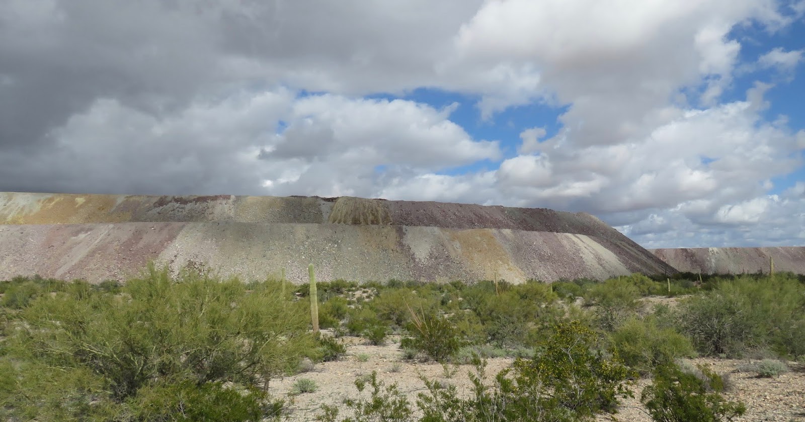
imparted a jarring visual contrast in the midst of such natural beauty. Arizona’s first copper mine was located in Ajo. For many decades, a plentiful supply of high-grade native copper was mined on an immense scale at the New Cornelia Mine, resulting in a gigantic mine pit over a mile in diameter!

Sadly, for Ajo mine workers, the New Cornelia Mine closed in 1985 when negotiations broke down between management and striking miners. The mine never reopened and Ajo’s population fell by over half.
The local Ajo Historical Society Museum, which is now housed in a former Indian mission church, showcased local mining history and displayed many interesting photographs, artifacts and relics from Ajo’s early days.

A classic southwestern town square called the Plaza marked the historic town center of Ajo.

At the end of the Plaza the white adobe Catholic Church, done in Spanish Colonial Revival style, was a photographer’s dream.

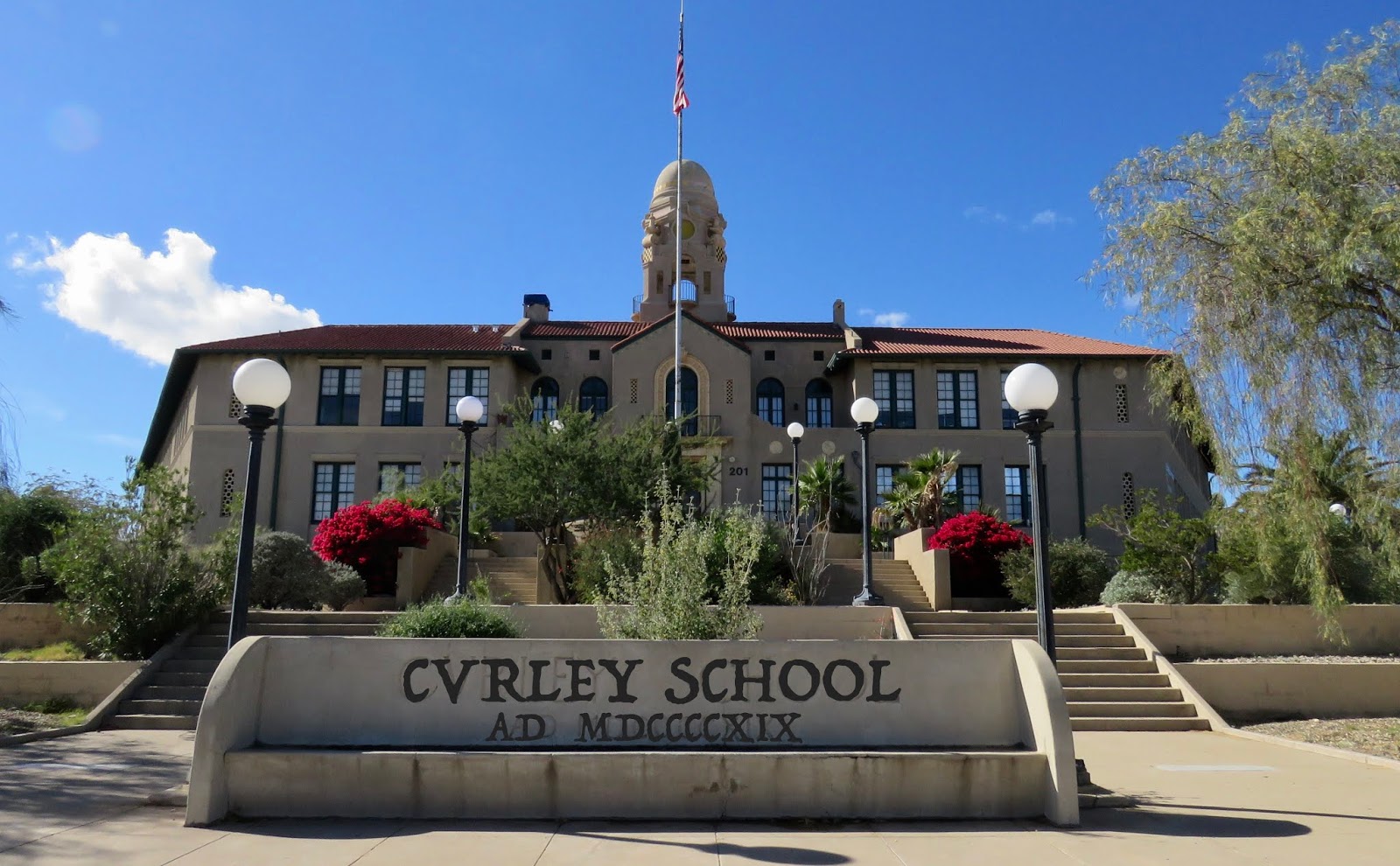
Further up the hill, the architecture of the old Curley School (named after a former mine superintendent) showed a Moorish influence. This building now serves as a sort of artists’ colony of apartments.
The back alley of the town square exhibited the artistic flare of many who live in Ajo.


Lovely artwork on the sides of various buildings was nicely preserved in Ajo’s hot dry climate.

Situated only 40 miles north of the Mexican border, present-day Ajo is home to many border patrol agents, in addition to a fair number of retirees. Local residents that we encountered seemed to accept the fact that illegal immigration was simply a fact of life around Ajo, and no one seemed all that worried about recent news of a “caravan” slowly working its way north.
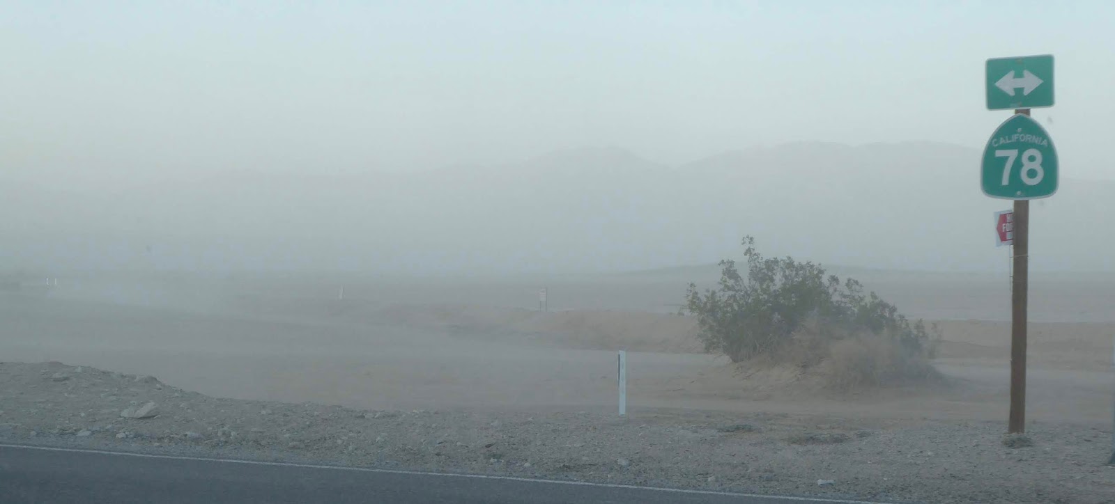
We spent a day cruising 35 miles down the dirt road called Camino del Diablo (Devil’s Highway) close to the Mexican border.

The Bates Wells ranch house,

which was surprisingly open for inspection,


along with some outbuildings,
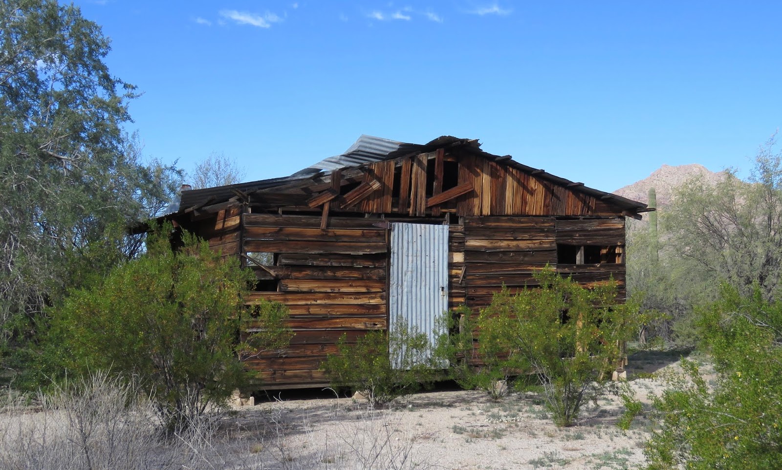

was all that remained of the ranching life of Henry Gray, who ranched in this area for 17 years.
In the desert we discovered that live animal sightings were rare. However, at Bates Wells we happened upon a “queen butterfly” and a “white-lined sphinx caterpillar”… and each cooperated for photographs.


Our drive along the Camino del Diablo and into the Cabeta Prieza National Wildlife Refuge revealed an exquisite remote desert panorama, but not a single sighting of the rare Sonoran pronghorn that are protected by the refuge.


For others who cross the Devil’s Highway between the mountains, there were indications that the difference between life and death is very fragile. We saw rescue stations with red call buttons for illegal immigrants who have horribly misjudged the vast distances to safety.


We also discovered humanitarian blue barrels of water marked by faded purple flags.


A simple plastic rosary hanging from a tree above this barrel certainly spoke to the dangers…


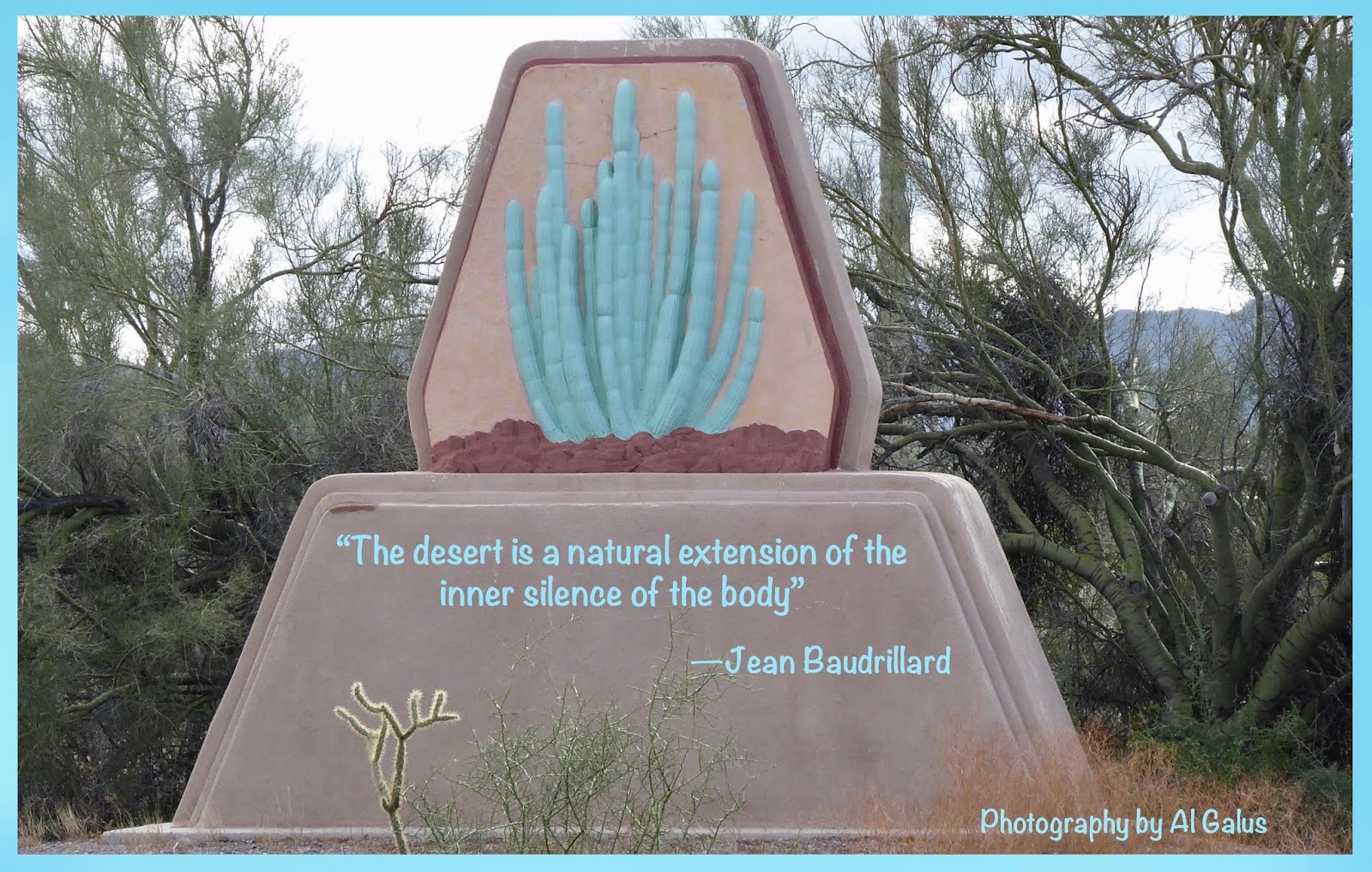
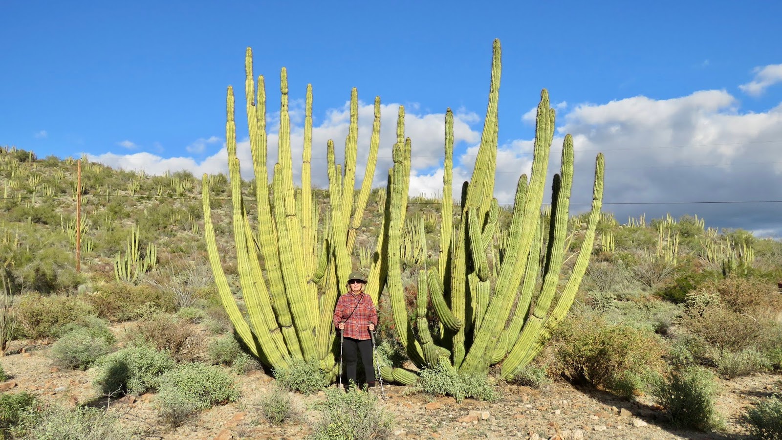
The chief reason we elected to spend two weeks in remote Ajo, Arizona, was for the opportunity to revisit Organ Pipe Cactus National Monument.

The monument is significant for an abundance of its namesake—the somewhat rare organ pipe cactus.
The monument butted up against the international border with Mexico, resulting in lots of opportunities to observe magnificent Mexican mountain scenery, as in this view looking out on Mexico’s Sonoyta Valley from a high point above the monument’s main campground.

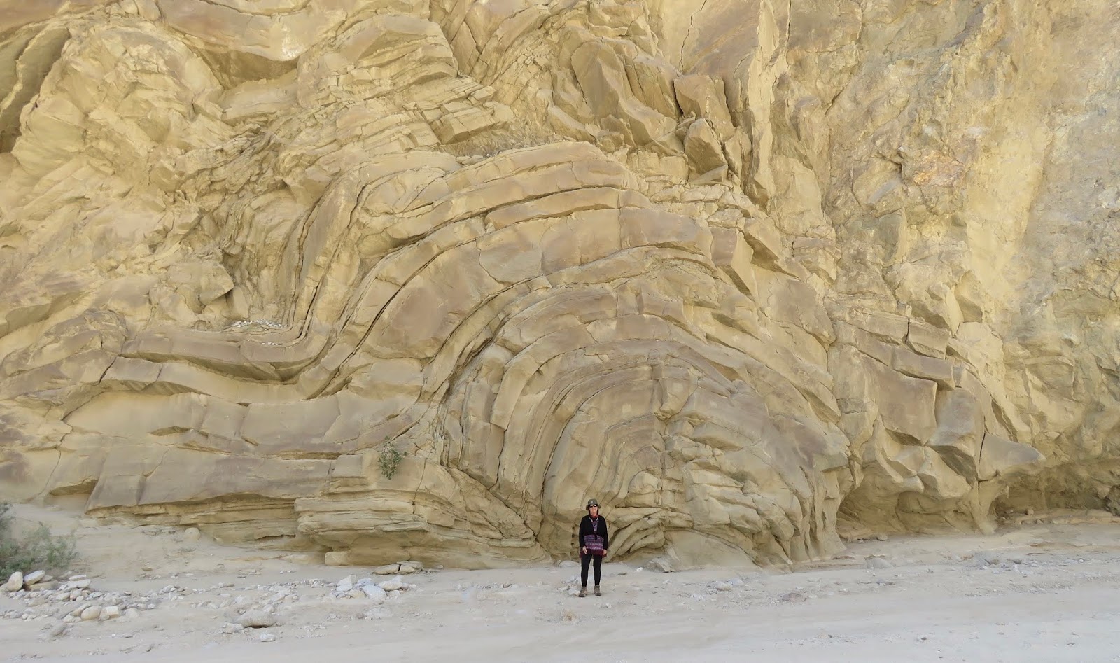
A 20-mile auto loop trail within the monument showcased the very best of Sonoran desert scenery.


Al’s view from the high plateau of the Bull Pasture hike was a grand one!

Toward the end of our hike, this sighting of a “desert blond tarantula” was an experience to savor! Luckily we had read that these docile desert arachnids aren’t easily provoked, so we lingered a bit to catch some close-ups of this one that was about 4-5 inches in diameter.

We set aside an entire day to do the longer 50-mile auto trail within the monument. This remarkable day was marked by absolute solitude, as we didn’t encounter a single other human for most of the day. What we did find was impressive stands of saguaro cactus forests;

signs of former ranch activity at Bonita Well, now grown over with giant shrubs of brittlebush artistically framing a livestock watering trough;

and two less common cacti—a fishhook pincushion cactus and an eagle’s claw cactus.


The last leg of this backcountry auto loop paralleled a Mexican highway.

We observed lots of truck traffic on the Mexico side and plenty of border agent activity on our side. We wondered if this was the winning border wall design…

As the dirt road deviated from the border, a slightly more substantial border wall wiggled up over the hills.

Final thoughts: Like Borrego Springs, Ajo was one of those small-town settings that just felt ‘comfy.’ Partly this was due to the beauty and solitude we found along less-traveled desert backroads. In addition, the welcoming Ajo sense of community clearly came out in our interactions with the locals. Some of the more memorable characters we met were:
- the “bread man” at the local Saturday farmers market who had a real talent for baking yummy loaves of bread
- the enthusiastic “local entrepreneur” who was tinkering with her menus to get her new restaurant business off the ground
- the “reverend” at the local rummage sale who was eager to chat with us about a huge variety of subjects
- the industrious “Mexican families” who sold tamales and delicious bags of fresh shrimp on periodic visits to our campground
- the hardworking “border patrol agents” who must tread the fine line of enforcement tempered with humanity

I will end with the distinctive Ajo Christmas symbol, with hopes that you have “A Very Ajo Merry Christmas” in the home you love with the people you cherish!